What BMKG’s Wave Categories Mean for Southern Bali Waters
BMKG’s Oct. 4 marine forecast places southern Bali waters at 0,5–3,0 metres. Its categories distinguish low, moderate and high waves for maritime travel.
Editor: Mursyid Sonsang
· 2 min read
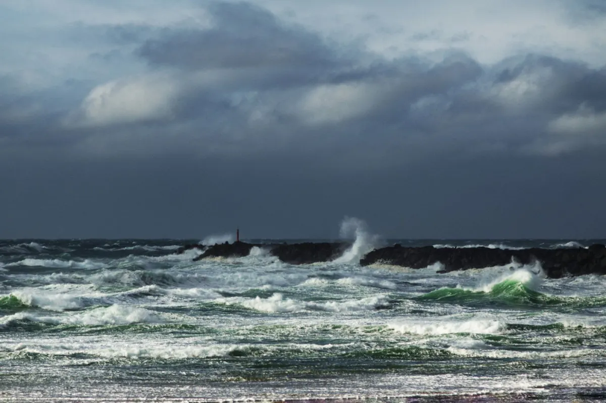
Denpasar — The Badan Meteorologi, Klimatologi, dan Geofisika (BMKG) Region III Denpasar forecast for Oct. 4, 2026, classifies marine waves from calm to very extreme and places southern Bali waters in a range reaching 3,0 metres.
The forecast was updated at 07:09 WITA (UTC+8) on Oct. 4 and applies through the same time that day. Its categories provide a framework for interpreting the conditions faced by passengers, boat operators and people visiting the coast.
What the categories mean for southern Bali waters
BMKG defines calm waves as 0.1–0.5 m, low waves as 0.5–1.25 m, moderate waves as 1.25–2.50 m, high waves as 2.50–4.0 m, very high waves as 4.0–6.0 m, extreme waves as 6.0–9.0 m and very extreme waves as 9.0–14.0 m.
For the southern waters of Bali, the forecast gives a range of 0,5–3,0 metres. That range spans low and moderate conditions and reaches the high-wave threshold at 2,50 metres under BMKG’s classification. The 3,0-metre upper end is therefore not a separate category; it is a height within the high category.
A separate report by Bali Post, citing BMKG, states that waves of up to 3,0 metres were forecast in the southern waters of Bali.
Those thresholds describe operational risk points rather than a forecast that every vessel will encounter them. For a foreign visitor, the practical meaning is that a ferry or boat trip may be affected by sea conditions even when weather on land appears suitable. The relevant information is the marine forecast for the route, not only the conditions at a beach or departure point.
The forecast’s time stamp is important because marine conditions can change during the day. BMKG’s update and validity period identify the specific window covered by the guidance: Oct. 4, 2026, from 07:09 WITA through 07:09 WITA.
BMKG’s categories also allow a consistent reading of reports from different waters. “Moderate” refers to 1.25–2.50 metres, while “high” begins at 2.50 metres and continues to 4.0 metres. Thus, a forecast ranging from 0,5 to 3,0 metres includes more than one category and should not be reduced to a single label.
Sources
Read next
More on this story

Business & Investment
Bali forum advances business matching as financial-center plan takes shape
The Oct. 2 Bali–Timor-Leste Business Forum included B2B, B2G and project-matching activities as officials considered Bali for an International Financi…
Most read in Travel Advisory
Related