

Bali Maps Flood and Erosion Risks Ahead of Rainy Season
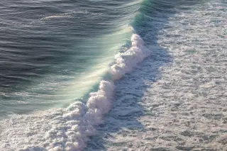
Bali’s latest hazard mapping puts 143,756.42 hectares at flood risk, with potential exposure of 2,546,118 people. Extreme-wave and erosion risks cover…

Topics
Bali’s latest hazard mapping puts 143,756.42 hectares at flood risk, with potential exposure of 2,546,118 people. Extreme-wave and erosion risks cover…
Bali data presented on October 12 says erosion affects 215.82 kilometres of coastline. Kuta’s shoreline is retreating by an estimated 1.9 metres a yea…
Continuing erosion has narrowed the Samigita coastal corridor, prompting scrutiny of space for a planned airport-to-Canggu tram. Badung officials say…
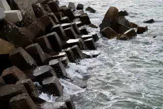
Bali’s public works office said 88.3 kilometres of the island’s 437.70-kilometre coastline remained affected by abrasion after earlier satellite monit…