

Bali Maps Flood and Erosion Risks Ahead of Rainy Season
Bali’s latest hazard mapping puts 143,756.42 hectares at flood risk, with potential exposure of 2,546,118 people. Extreme-wave and erosion risks cover 10,719 hectares.
By Pandi Muktar
Editor: Mursyid Sonsang
· 2 min read
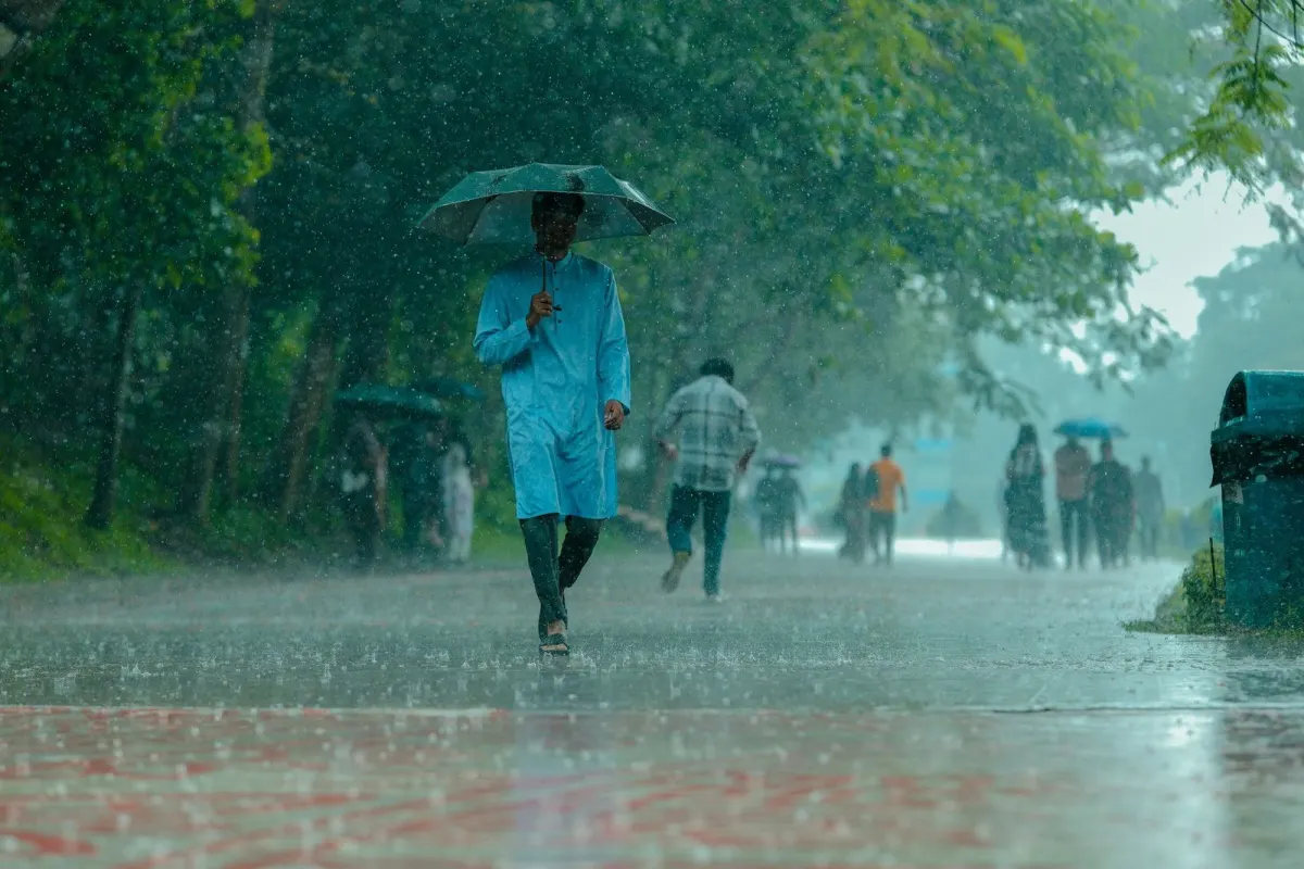
Denpasar — A new report dated Nov. 5 says Bali’s mapped flood-hazard area covers 143,756.42 hectares, with potential exposure of 2,546,118 people, while mapped extreme-wave and erosion hazard covers 10,719 hectares.
The assessment comes as the Bali Regional Disaster Management Agency, known as BPBD, trains a multisector rapid-response team and prepares for the rainy season. The work covers flooding, extreme weather, coastal erosion, landslides and other hazards across the province.
Why the hazard maps matter to Bali residents and visitors
For foreign residents and visitors, the figures describe the scale of the areas and population potentially exposed to hazards; they do not mean that every person or location within those areas will experience an event. The maps are intended to help agencies identify risks and coordinate preparedness before severe weather.
BPBD Bali is strengthening coordination beyond the disaster agency itself. The rapid-response team includes multiple sectors, allowing provincial agencies to support local governments when a disaster occurs. The approach is designed to clarify responsibilities and speed up the response to flooding, landslides, fallen trees and other hydrometeorological emergencies.
Bali’s assessment also includes coastal risks. The mapped extreme-wave and erosion hazard area covers 10,719 hectares, making coastal exposure part of the same preparedness picture as inland flooding and slope failures.
The training and mapping follow earlier work on Bali’s disaster-risk assessment documents, which are used as references for preparedness planning. The immediate focus is the rainy season, when hydrometeorological hazards can become more frequent or severe.
BPBD’s multisector exercise is intended to improve the province’s readiness and ensure that emergency action is coordinated across government agencies and local administrations.
Sources
Read next
More on this story

Explainers & Data
Bali Assessment Places Buleleng First and Badung Last
Bali’s 2026 assessment put the average score across its nine regencies and municipalities at 77,27. Buleleng ranked highest and Badung lowest.
Most read in Environment
Today’s top story

Related