
Dry-season wildfire risk remains high as Mount Bromo blaze renews concerns
Indonesia’s prolonged, El Niño-influenced dry season is keeping wildfire risk high across the country.
By Pandi Muktar
Editor: Mursyid Sonsang
· Event date: · 4 min read
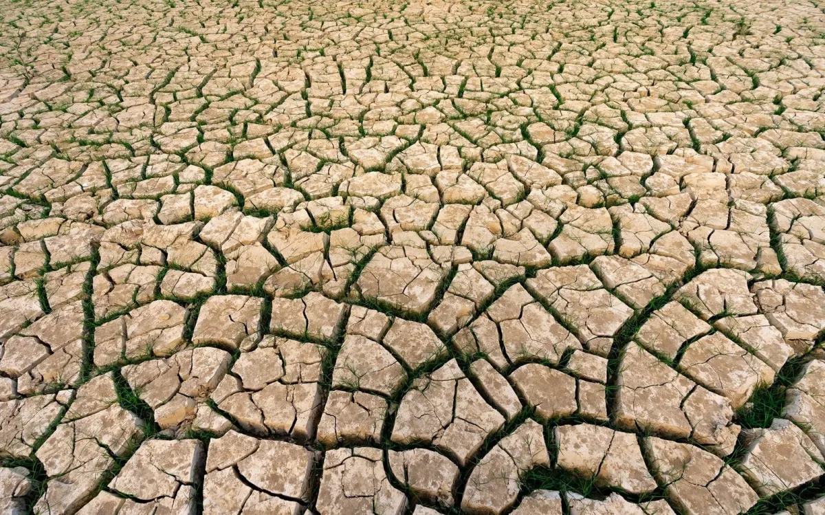
Bali — Indonesia’s dry-season wildfire threat remains elevated across multiple regions, with recent blazes at Mount Bromo in East Java underscoring ongoing risks for forests and conservation areas nationwide, including Bali. National meteorological and disaster officials continue to warn that the prolonged dry season and El Niño conditions are keeping fire danger high through September.
According to reporting from Surabaya, a new wildfire broke out in the Bromo Tengger Semeru National Park area on Thursday, weeks after an earlier blaze scorched more than 1,000 hectares of protected land near Mount Bromo in East Java. Authorities detected the latest fire around 4 p.m. near Ngadas village in Probolinggo regency, with strong winds pushing flames toward Teletubbies Hill, a popular savanna tourist area in the national park.
The Bromo Tengger Semeru National Park Authority responded by closing tourist access routes to support firefighting operations and protect visitors, initially restricting entry from some gates and later expanding the closure to all access points from Malang, Probolinggo, Pasuruan and Lumajang. The authority reported that the suspension of visits was necessary to make fire management more effective and did not set a date for reopening.
This is the second wildfire in about a month to affect the Mount Bromo area. A previous fire in early August burned more than 1,000 hectares of the park, prompting the deployment of water-bombing helicopters and the temporary closure of one of Indonesia’s most-visited mountain tourism destinations.
The scale and recurrence of the fires have led the Environment and Forestry Ministry to form a special team to investigate the causes and examine potential legal violations connected to land use and fire management around the national park.
National meteorological guidance points to a broader pattern of heightened fire risk during this year’s dry season. Indonesia’s Meteorology, Climatology and Geophysics Agency (BMKG) has forecast that forest and land fire danger will remain high over the coming months, with peak risk expected in September as dry conditions persist across many regions. BMKG and other national assessments highlight that the 2026 dry season is longer and more intense than usual, influenced by El Niño and associated drought, increasing the likelihood of landscape fires.
Wildfires have already been reported in several provinces as the dry season has taken hold. National and regional coverage has described fires burning for more than two weeks in some areas and blanketing nearby communities in haze, with one of the largest early-season incidents recorded in Buleleng regency in north Bali, where flames swept through around 48 hectares of dry grassland in Pemuteran village, including part of a protected forest area.
Disaster officials have urged communities not to clear land by burning and to avoid igniting fires in or near forests and other fire-prone zones during the current conditions.
Regional disaster agencies and environmental groups in Bali have also reported multiple forest and land fires on the island this year, noting that the dry season has been longer and drier than usual and warning that this increases fire risk for forest edges, dry grasslands and conservation buffers.
These local assessments align with national forecasts that classify Bali, together with the rest of Java and parts of Nusa Tenggara, as being in an extreme drought red zone, where prolonged dry spells heighten both water stress and the probability of forest and land fires.
For visitors and residents, authorities advise closely monitoring local information on fire activity and air quality, particularly in rural and upland areas. While the most severe haze and large-scale fires are currently concentrated in Sumatra and Kalimantan, officials and travel guidance note that dry-season hotspot conditions can shift quickly and that September remains a critical month for fire management and prevention across Indonesia.
Sources
Read next
More on this story

Business & Investment
Bali Sets November Trial for 11 Electric Sarbagita Buses
Bali has received 11 electric Trans Sarbagita buses and plans a launch on Oct. 22 before public service begins Nov. 1 on the GOR Ngurah Rai–Udayana–GW…
Most read in Environment
Related