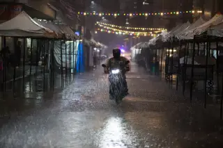

Bali asks tourism operators to pause activities at high-risk sites
Bali’s provincial secretary has asked tourism operators to pause activities at sites facing strong disaster risks, while the Tourism Agency prepares a circular and renewed mapping of nature-based attractions.
Editor: Mursyid Sonsang
· 2 min read
Bali — Bali provincial secretary Dewa Made Indra on November 6, 2026, asked tourism operators to temporarily stop activities at tourism locations judged to face a sufficiently high disaster threat.
Why it matters: Tourism operators may need to pause activities at sites facing strong disaster threats after the Bali Tourism Agency issues its circular and remapping begins.
Indra instructed the Bali Tourism Agency to coordinate with tourism businesses and begin remapping tourism activity sites, particularly those using natural areas that could be affected by landslides, floods or extreme weather, according to Bali Post.
The coordination will begin with a circular from the Bali Tourism Agency. Operators are expected to reassess the locations of their activities and increase vigilance during the rainy season.
Indra said sites with a strong potential for an incident should be stopped temporarily to reduce risks to tourists and tourism workers. The remapping is intended to identify risky activities earlier.
Routes identified as priorities for the mapping include the Singaraja–Denpasar and Singaraja–Gobleg routes, the Kintamani area and several routes in Karangasem, Bali Post reported.
Indonesia’s rainy season brings recurring risks from flooding and landslides. The U.S. State Department says Indonesia regularly experiences natural disasters, including floods, landslides, earthquakes, tsunamis and volcanic eruptions, while Australia’s Smartraveller warns that heavy rain can cause flooding in Bali and disrupt transport.
The measure follows broader preparations for seasonal hazards. Tempo reported that Bali’s administration was working with the Regional Disaster Mitigation Agency to map vulnerable areas and improve mitigation, including flood-prone locations in Denpasar and Badung.
Sources
Read next
More on this story
Culture & Ceremony
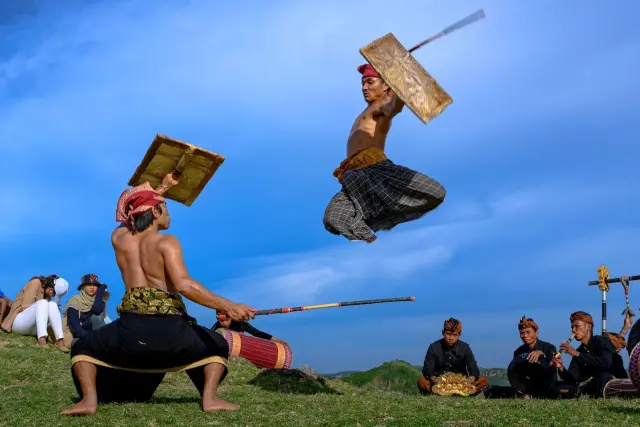
Seraya Culture Festival to run from 5–7 November in Karangasem
Seraya Culture Festival will run from 5–7 November 2026 in Karangasem, with Gebug Ende performances scheduled daily alongside cultural, recreational a…
Most read in Travel Advisory
Related