

BMKG Warns of Tidal Flooding Along Six Bali Coastal Areas
BMKG said high tides could affect six Bali coastal areas from Nov. 8–11, 2026. The warning includes possible disruption to ports, coastal settlements, salt farms and inland fisheries.
By Pandi Muktar
Editor: Mursyid Sonsang
· 2 min read
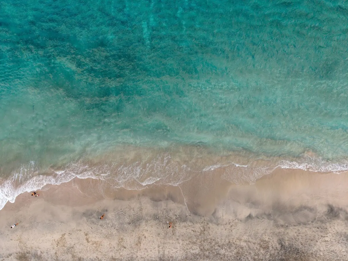
Denpasar — The Meteorology, Climatology and Geophysical Agency (BMKG) has issued an early warning of possible tidal flooding along six Bali coastal areas from Nov. 8 to 11, 2026. The areas are southern Jembrana, southern Tabanan, Badung, Denpasar, Gianyar and southern Klungkung.
The warning covers periods when unusually high tides could affect coastal activity. BMKG said the risk is linked to the new-moon phase on Nov. 9, 2026, which can raise maximum sea levels in some coastal areas. Potential effects include cargo handling at ports, coastal settlements, salt farms and inland fisheries.
Why the warning matters to Bali residents and visitors
For people living in or visiting Bali’s coastal districts, the warning means that conditions near shorelines, ports and low-lying settlements may be disrupted during the forecast period. The warning does not say that flooding will occur everywhere or continuously; it identifies areas where high tides could create impacts.
The six areas named by BMKG are the southern coast of Jembrana, the southern coast of Tabanan, the coast of Badung, the coast of Denpasar, the coast of Gianyar and the southern coast of Klungkung. The agency’s warning was issued through the Greater Denpasar Meteorology, Climatology and Geophysics Agency Region III, whose coverage includes Bali.
BMKG’s forecast period runs from Nov. 8 through Nov. 11, 2026. The new moon is expected on Nov. 9, 2026, and was identified as a factor that could increase maximum sea levels. The possible effects listed in the reports are operational and residential: port loading and unloading, activity in coastal communities, salt production and inland fisheries.
People whose work or travel involves those locations may therefore encounter tidal water affecting access or routine coastal operations during the warning period. The reports do not specify a single flooding height, a uniform impact time or a closure of any port or coastal site.
Sources
Read next
More on this story

Travel Advisory
BMKG Warns Bali of Heavy Rain and 2.5-Metre Waves
BMKG warned of moderate to heavy rain in three Bali regencies through Nov. 6, while southern waters could see waves up to 2.5 metres, posing risks for…
Most read in Environment
Related