How Bali’s road network is divided between three levels of government
Bali’s roads are managed at three government levels. Official planning data records 8,702.80 kilometres in total, with most of the network under regency or municipal authority.
By Mukmin John
Editor: Mursyid Sonsang
· 2 min read
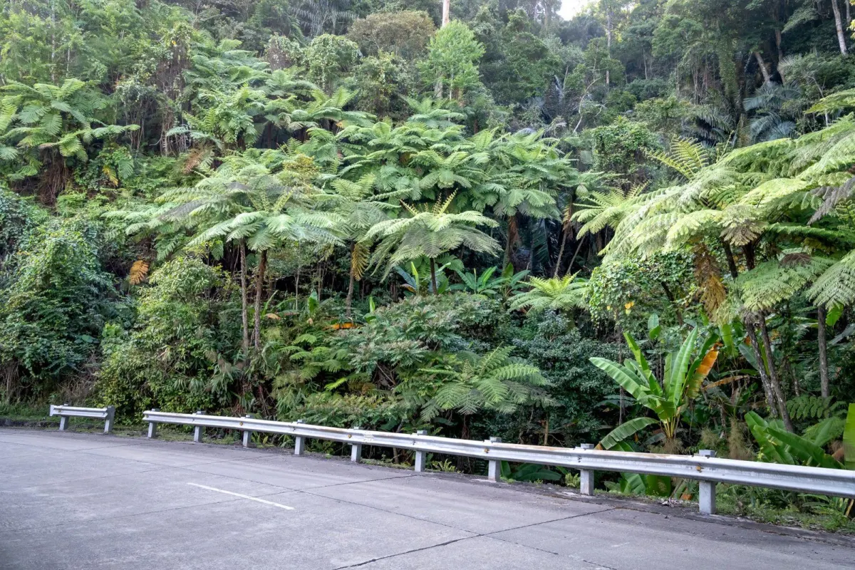
Bali’s road network totals 8,702.80 kilometres, according to Bali’s 2025 regional planning document citing BPS data for 2023. The network is divided among national, provincial and regency or municipal authorities, so responsibility for a road depends on its legal classification rather than its location alone.
How long is Bali’s road network?
Bali had 8,702.80 kilometres of recorded roads in 2023, according to the Bali provincial government’s 2025 Regional Government Work Plan document. The figure covers roads under national, provincial and regency or municipal authority.
Who is responsible for each road?
National-government roads accounted for 589.64 kilometres in the same breakdown, while provincial-government roads accounted for 805.35 kilometres, according to the Bali provincial government document.
Regency and municipal governments were responsible for 7,308.81 kilometres. This means the largest share of the recorded network was administered locally, rather than by the provincial or national government.
Why does the classification matter?
Road classification identifies which level of government plans, manages and maintains a road. A road in a regency can therefore fall under regency authority, while a road designated as national or provincial remains under the corresponding higher level of government.
The classification also helps explain why road policy is not a single Bali-wide municipal service. Different authorities can have separate budgets, programmes and performance responsibilities for different sections of the network.
What does the wider transport data show?
Bali’s statistics office separately reports transport activity by air and sea. In its February 2025 transport overview, BPS Bali treats passenger and freight movement through transport nodes as distinct indicators from the length and administrative ownership of roads.
Bali’s provincial transport planning document set a 2025 target of 0.90 for the road-transport connectivity ratio and recorded 118 available road-equipment units as a planning indicator, according to the Bali Transportation Agency’s 2025 work plan. These are planning measures, not additional kilometres of road.
What should readers take from the figures?
The headline number is the 8,702.80-kilometre network, but the more useful administrative fact is its division: 589.64 kilometres national, 805.35 kilometres provincial and 7,308.81 kilometres under regency or municipal governments, according to the Bali provincial government’s 2025 document.
Sources
Read next
More on this story
Tourism & Hospitality
Erosion complicates space planning for proposed Ngurah Rai–Canggu tram
Continuing erosion has narrowed the Samigita coastal corridor, prompting scrutiny of space for a planned airport-to-Canggu tram. Badung officials say…
Most read in Explainers & Data

Related