Inside Nusa Penida’s 20,057-hectare marine conservation area
Indonesia’s 2014 ministerial decision established the Nusa Penida Marine Conservation Area as a 20,057-hectare marine tourism park and set its outer coordinates, with a 2017 provincial plan adding a zoning-based management framework.
By Pandi Muktar
Editor: Mursyid Sonsang
· Event date: · 5 min read
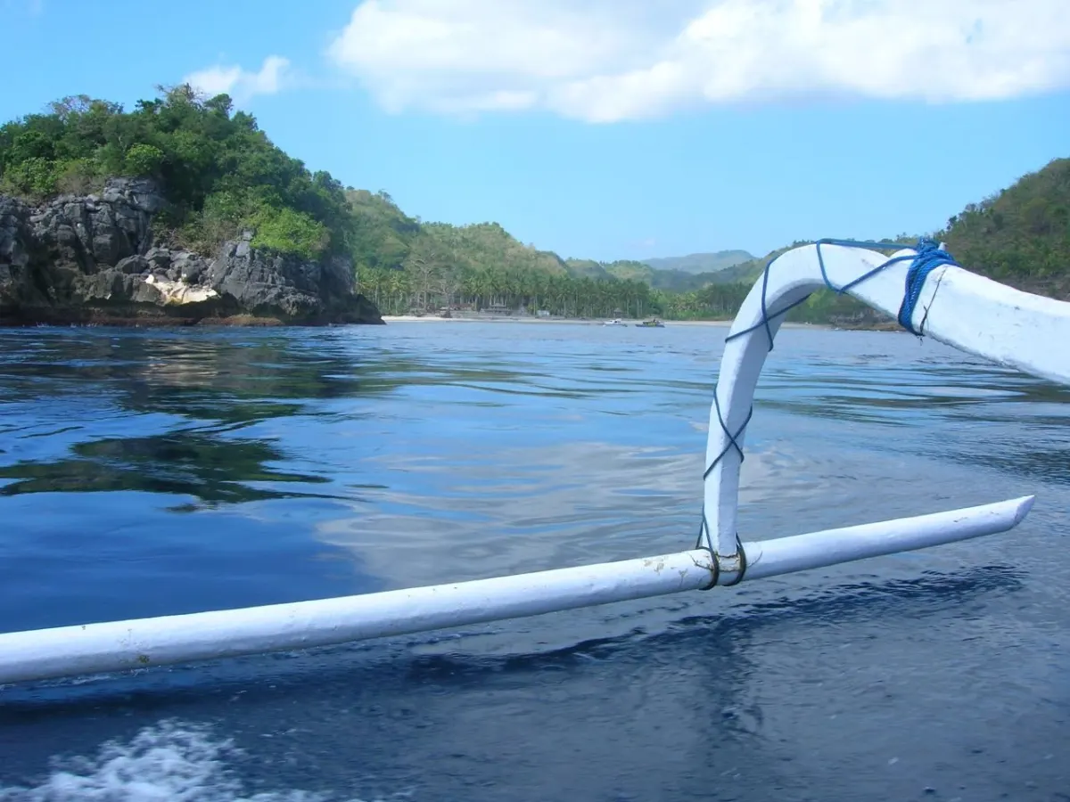
Nusa Penida — — Indonesia designated approximately 20,057 hectares of waters around Nusa Penida in Klungkung, Bali, as a marine conservation area through a ministerial decision signed on 21 March 2014, classifying it as a marine tourism park and assigning management to the Klungkung regency government according to the Ministry of Marine Affairs and Fisheries and Bali’s Marine and Fisheries Agency.
The designation is set out in the Minister of Marine Affairs and Fisheries Decision No. 24/KEPMEN-KP/2014 on the Nusa Penida Marine Conservation Area, which establishes part of the waters of Nusa Penida as a protected marine area to conserve, protect and sustainably use aquatic biodiversity, including species such as ocean sunfish (mola-mola) and manta rays.
The management and zoning plan prepared by the Bali Provincial Marine and Fisheries Agency in 2017 describes the conservation area’s physical and ecological conditions, fisheries and tourism potential, existing uses, social and economic conditions, management institutions, tourism ethics, zoning system and management programmes, and cites the 2014 ministerial decision as its legal basis.
What the ministerial decision establishes
The 2014 decision defines the Nusa Penida Marine Conservation Area as covering approximately 20,057 hectares of marine waters around the Nusa Penida islands, to be managed as a Taman Wisata Perairan, or marine tourism park.
According to the decision, the conservation area is created to safeguard marine ecosystems and species, including mola-mola and manta rays, while allowing sustainable use through a system of zoning and regulated activities.
The decision’s attachment sets the legal outer boundary of the marine tourism park using six geographic coordinate points expressed in degrees, minutes and seconds of latitude and longitude, and states that the area is managed by the Klungkung regency government as the responsible authority.
- Area: approximately 20,057 hectares of marine waters
- Designation: Nusa Penida Marine Conservation Area managed as a marine tourism park (Taman Wisata Perairan Nusa Penida)
- Decision date: 21 March 2014
- Boundary points: six coordinate points forming the outer limit of the conservation area
- Administrative responsibility: Klungkung Regency Government
The six outer boundary points listed in the ministerial attachment are: A at 115°34′37.10″ east, 8°39′14.43″ south; B at 115°39′41.36″ east, 8°46′25.54″ south; C at 115°35′32.77″ east, 8°51′39.59″ south; D at 115°26′6.53″ east, 8°45′46.33″ south; E at 115°24′13.28″ east, 8°41′5.82″ south; and F at 115°26′42.52″ east, 8°38′34.63″ south, defining the legal perimeter of the marine tourism park.
These coordinates form the official outer limits of the conservation area as set out in the decision and its attachments, and are intended for legal and planning purposes rather than serving as a substitute for nautical charts, marked boundaries or project-specific permit assessments.
What the 2017 plan adds
The 2017 management and zoning plan issued by the Bali Provincial Marine and Fisheries Agency expands on the brief ministerial decision by setting out a comprehensive framework for managing the Nusa Penida Marine Conservation Area.
The plan explains that the conservation area is managed through a zoning system, typically including core zones, sustainable fisheries zones, utilization zones and other zones, with activities assessed according to the rules applicable in each zone rather than under a single uniform rule for the entire 20,057-hectare area.
Research on the Nusa Penida marine protected area and related management documents indicates that zoning is used to separate activities such as fishing, tourism, seaweed farming and sacred or cultural uses, with zoning maps and activity tables referenced in the plan to guide practical decisions.
For operators, this means that the marine tourism designation in the 2014 decision does not by itself authorise every tourism, fishing, construction or transport activity across the entire area; instead, those activities must be evaluated against the relevant zone map, utilisation rules, permits and environmental regulations referenced in the management and zoning plan and related instruments.
Management and enforcement framework
The ministerial decision calls for the authorities to announce and disseminate the conservation area designation, and directs that a committee be formed to arrange boundaries, involving national and local government officials, before appointing the Klungkung regency government to manage the marine tourism park.
The management and zoning plan prepared for the conservation area refers to collaborative management arrangements, outlines planning and financing mechanisms, and places Nusa Penida within national and regional efforts to develop effective marine protected area networks in the Coral Triangle.
Studies of the Nusa Penida marine protected area describe the zoning system, note that some zone boundaries are communicated using buoys or other markers, and analyse management effectiveness during transitions of authority, underscoring the importance of clear institutions, patrols, compliance mechanisms and sustainable financing for the conservation area.
Context
The Nusa Penida Marine Conservation Area was formally established by the Minister of Marine Affairs and Fisheries Decision No. 24/KEPMEN-KP/2014, signed in Jakarta on 21 March 2014, with an area of about 20,057 hectares managed as a marine tourism park.
The Bali Provincial Marine and Fisheries Agency subsequently prepared the Nusa Penida management and zoning plan in 2017, building on the ministerial decision and earlier local initiatives, such as regional regulations and zoning concepts developed with support from conservation programmes.
Together, these records provide the legal designation, approximate area, outer coordinates and a planning framework that underpins current management of the conservation area, offering guidance to fishers, tourism operators, residents and investors working in or near Nusa Penida’s marine environment.
Sources
- Ministry of Marine Affairs and Fisheries of the Republic of Indonesia – Decision No. 24/KEPMEN-KP/2014 (PDF)
- Scribd – Copy of Decision No. 24/KEPMEN-KP/2014
- National Geographic Indonesia – Nusa Penida Ditetapkan Sebagai Kawasan Konservasi Perairan
- Surajis blog – Penetapan Taman Wisata Perairan Nusa Penida: Mewarnai Perikanan dan Wisata Bali
- Bioflux – Management Effectiveness: Nusa Penida MPA in Authority Transition
- Agence Française de Développement – Marine Protected Areas in Indonesia
- Indonesia Climate Change Trust Fund – COREMAP-CTI Project Document for Nusa Penida
- Coral Triangle MPA Networks paper – Developing Marine Protected Area Networks in the Coral Triangle
Next story
Bali Says 88.3 Kilometres of Coastline Remain Affected by Abrasion
Bali’s public works office said 88.3 kilometres of the island’s 437.70-kilometre coastline remained affected by abrasion after earlier satellite monit…
Related