Earthquake rattles West Sumba near Waikabubak
BMKG data recorded an earthquake 6 kilometres northeast of Waikabubak on Oct. 8. Shaking reached IV–V in West Sumba and III–IV in Central Sumba.
Editor: Mursyid Sonsang
· 2 min read
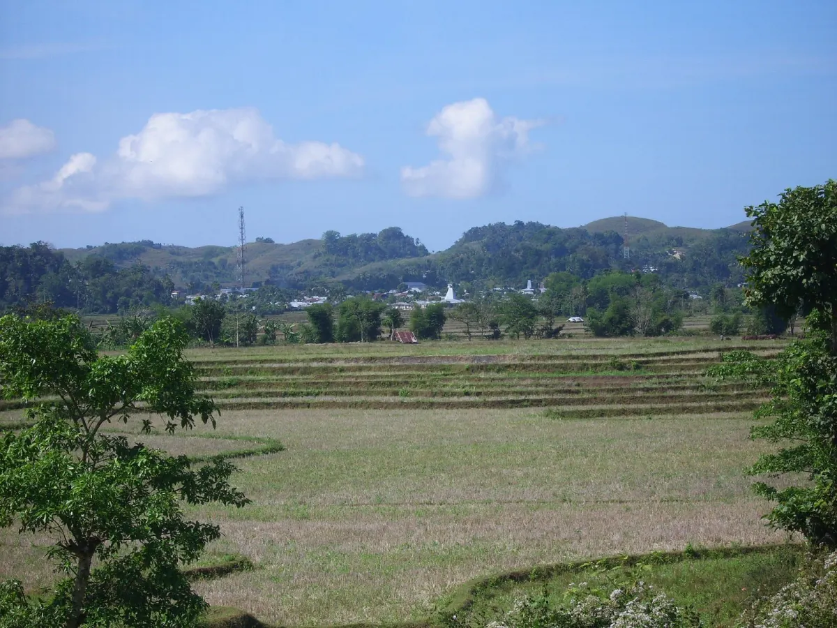
Waikabubak — An earthquake was recorded 6 kilometres northeast of Waikabubak on Thursday, Oct. 8, 2026, according to Indonesia’s Meteorology, Climatology and Geophysical Agency, known as BMKG.
Shaking reached intensity IV–V in West Sumba and III–IV in Central Sumba. The intensity figures describe how strongly the earthquake was felt locally in the two Sumba regencies.
The earthquake was felt across two Sumba regencies
The reported location places the earthquake northeast of Waikabubak, the administrative centre of West Sumba. The event therefore concerned residents and visitors in the surrounding area, as well as people travelling through West Sumba and nearby Central Sumba.
West Sumba recorded the higher reported intensity, at IV–V, while Central Sumba recorded shaking at III–IV. These figures distinguish the local experience of the shaking from the earthquake’s location near Waikabubak.
The earthquake was recorded on Thursday, Oct. 8, 2026. Its reported position was 6 kilometres northeast of Waikabubak on Sumba, with shaking recorded in both West Sumba and Central Sumba.
The event’s reported intensity was IV–V in West Sumba and III–IV in Central Sumba. Waikabubak was identified as the nearby location, while West Sumba and Central Sumba were the areas associated with the reported shaking.
Sources
Read next
More on this story
Travel Advisory
BMKG warns of strong winds and high waves in Bali
BMKG forecast partly cloudy weather across Bali on Oct. 7, 2026, with strong winds in Karangasem and waves reaching 3,5 metres south of the island.
Most read in East Indonesia Desk

Today’s top story

Related