Bali environment data: what the official figures show
Official Bali data points to eight groundwater basins and a reported decline in forest damage, but the indicators measure different environmental pressures and should not be combined.
By Pandi Muktar
Editor: Mursyid Sonsang
· 2 min read
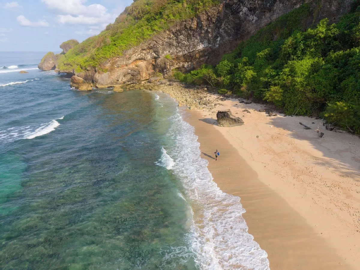
Bali’s official 2025 statistical publication provides an authoritative starting point for environmental questions, while the provincial government’s 2025 performance report records eight groundwater basins and reports forest-damage data. Together, they show that Bali’s environmental pressures must be read across water, land and forest indicators rather than through a single waste or disaster figure.
What official environmental data does Bali publish?
The Bali Province in Figures 2025 publication was released by BPS-Statistics Indonesia Bali Province on February 28, 2025, in Indonesian and English, according to BPS, 2025. It is an annual statistical publication covering provincial indicators, including information relevant to environmental conditions.
How many groundwater basins does Bali have?
Bali has eight recorded groundwater basins, according to the Bali provincial government’s 2025 Local Government Implementation Report. Groundwater basins are areas used to describe and manage underground water resources, so the figure identifies the scale at which water planning is organised.
What do the official forest figures show?
The same 2025 provincial report states that forest damage under provincial authority was 51,125 hectares in the reporting year, compared with 186,810 hectares in the previous year. The report presents these figures as a 135.685 percent reduction in forest damage, according to the Bali provincial government, 2025.
Why should readers read these figures together?
Water availability and forest condition are separate indicators, but both affect Bali’s environmental management. The official figures do not measure the same thing: the groundwater number counts recorded groundwater basins, while the forest figures count damaged forest area and compare two reporting years.
Where can the figures be checked?
The baseline statistical publication is Bali Province in Figures 2025 from BPS-Statistics Indonesia Bali Province. The more specific groundwater and forest figures appear in the Bali provincial government’s 2025 Local Government Implementation Report, which identifies the responsible provincial agencies.
Sources
Read next
More on this story
Tourism & Hospitality
Erosion complicates space planning for proposed Ngurah Rai–Canggu tram
Continuing erosion has narrowed the Samigita coastal corridor, prompting scrutiny of space for a planned airport-to-Canggu tram. Badung officials say…
Latest in Environment
Related