Ketapang–Gilimanuk Ferries Use Situational Open–Close System
ASDP and transport authorities have been using a situational open–close system on the Ketapang–Gilimanuk ferry crossing in mid-September, as changing conditions and reduced berth capacity drive queues.
By Mukmin John
Editor: Mursyid Sonsang
· 5 min read
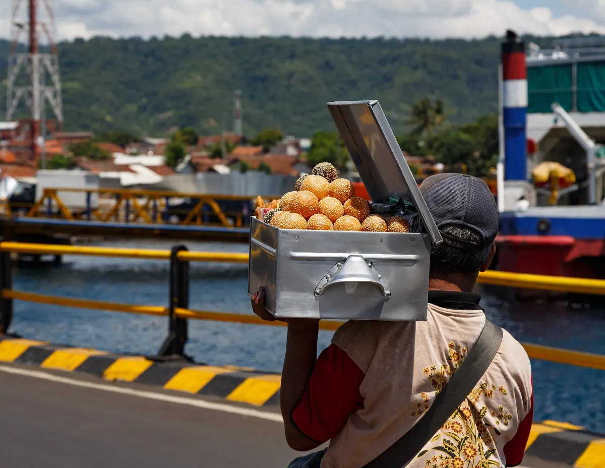
Banyuwangi — PT ASDP Indonesia Ferry (Persero) has been applying a situational buka tutup (open–close) system on the Ketapang–Gilimanuk crossing in mid-September as vehicle queues and changeable conditions in the Bali Strait put pressure on operations, according to statements by ASDP and local transport authorities.
The system means departures can be temporarily suspended when conditions or infrastructure constraints no longer meet operational safety or capacity requirements, then gradually resumed after field monitoring and coordination with relevant agencies indicate that sailing can proceed. For travellers carrying vehicles, being allowed into a port or seeing the service listed as operating does not necessarily mean a ferry will depart immediately.
How the situational system affects crossings
ASDP’s Corporate Secretary Windy Andela said in Jakarta that congestion on the Ketapang–Gilimanuk route between 30 August and 5 September 2026 was driven by a combination of higher vehicle production, limited capacity at several berths, disruption at alternative berths, dominance of logistics trucks and vessel operating patterns. She noted that only one berth on the route can currently serve vehicles over 20 tons and that the Bulusan berth on the Ketapang side remains out of service after earlier damage, reducing flexibility when traffic surges.
Industry group GAPASDAP also linked long queues to reduced berth capacity rather than a shortage of ferries, saying that only around 23 of 56 licensed ships could operate daily, compared with 28–34 vessels under normal conditions. GAPASDAP attributed the reduced capacity in part to the closure of MB II jetty at Ketapang from 21 August 2026 for upgrading works and limited operations at Bulusan due to damage to dolphin fenders.
Local traffic reports show that on Monday, 14 September 2026, queues of trucks heading to Ketapang once again extended several kilometres, with vehicles funnelling through the Bulusan buffer parking area before entering the main terminal. Police were deployed around the clock to manage flows on the approach roads and within the port area.
In practice, a situational buka tutup regime means that ferry operations can be paused while operators and authorities assess whether conditions and capacity remain within safe limits, then resumed progressively once conditions improve. The service being described as “open” is therefore a conditional status rather than a guarantee of uninterrupted departures. Conditions can change between a forecast update, a vehicle’s arrival at the terminal, a vessel’s departure window and its movement through the strait.
What the 14 September marine forecast showed
BMKG’s maritime forecast for the ASDP Gilimanuk port was valid from 14 September 2026 at 00.00 to 17 September 2026 at 00.00. For 14 September, the agency reported generally clear to partly cloudy conditions, visibility around 10 kilometres and a significant wave height of about 0.3 metres, classified as calm in the forecast table. The forecast also indicated currents flowing south at speeds of around 3.8 knots at the start of the period, with tidal levels fluctuating from negative to positive values through the day.
An accompanying BMKG bulletin for Gilimanuk covering 14–15 September 2026 showed that wind direction and speed varied through the day, with southwesterly to southerly winds in the morning and shifts in speed in the afternoon and evening, along with short-lived gusts stronger than the mean wind. A separate weather overview for Bali published on 14 September noted that conditions at Gilimanuk around 14.00 WITA were partly cloudy with wave heights in the range of about 0.1–0.5 metres.
These figures describe expected conditions at the Gilimanuk forecast point and time slices, not a guaranteed state for every part of the crossing. Local observations, transient wind gusts, changing currents, vessel handling characteristics and conditions near berths all influence whether a particular sailing can proceed, and operational decisions are taken in coordination with port authorities and transport regulators rather than on forecast data alone.
Practical implications for travellers
Traffic management and capacity constraints mean that queues can extend onto approach roads even when the national highway has been partially cleared, and waiting vehicles are often held first in buffer zones such as Bulusan before entering the main port area. On some days in early September, authorities reported queues stretching up to 9 kilometres from the port entrance before gradually shortening later in the day, while prioritising emergency vehicles and managing truck flows.
Travellers are advised to allow additional time, avoid planning tight onward connections and confirm the latest crossing status with ASDP or port officials before joining vehicle queues. A favourable marine forecast can support decisions to resume or maintain sailings, but the final call on departures rests on real-time operational assessments of safety, capacity and traffic conditions.
Sources
- BMKG Maritime Weather Forecast – Pelabuhan ASDP Gilimanuk
- IDN Times Bali – Cuaca Bali 14 September 2026 Cerah Berawan
- Wartatrans – ASDP Ungkap Penyebab Antrean Ketapang–Gilimanuk
- Kilas Jatim – Antrean Ketapang Capai 15 Km, GAPASDAP: Bukan karena Kekurangan Kapal
- Tribun Jatim Timur – Macet Ketapang Banyuwangi Kembali Terjadi, Ekor Antrean Truk Capai 9 Kilometer
- RRI Jember – Kemacetan Ketapang Terurai, Arus Situbondo–Banyuwangi Kembali Lancar
- Detik Jatim – Dirlantas Polda Jatim Pantau Macet Ketapang Naik Motor, Ini Instruksinya
Next story
ASDP Upgrades Gilimanuk Dermaga II Capacity to 50 Tons
State ferry operator ASDP is upgrading Dermaga II Gilimanuk and the pontoon berth at Ketapang to 50-ton capacity to improve reliability and flexibilit…
Related