
Magnitude 5.3 Earthquake Hits Northwest of Manggarai
BMKG said the offshore earthquake was felt across parts of West Manggarai and Manggarai, including Labuan Bajo and Ruteng. Its updated analysis put the epicenter 53 kilometers northwest of Ruteng.
Editor: Mursyid Sonsang
· 2 min read
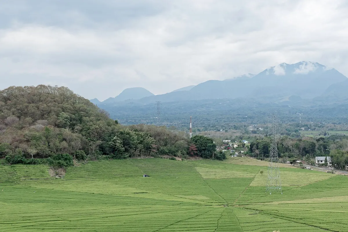
Manggarai — A magnitude 5.3 earthquake struck northwest of Manggarai, East Nusa Tenggara, on Sunday, Oct. 18, at 16.00.08 WITA, with no tsunami potential, according to Indonesia’s Meteorology, Climatology and Geophysical Agency, known as BMKG.
BMKG’s updated analysis placed the epicenter offshore, 53 kilometers northwest of Ruteng, Manggarai, at a depth of 10 kilometers. Its initial bulletin listed the event as magnitude 5.3, while the updated analysis gave a magnitude of M5.1.
The shaking was felt at intensity IV MMI in Macang Pacar in West Manggarai, and in West Reok and Reok in Manggarai. Intensity III MMI was recorded in Labuan Bajo, Ruteng, Borong, Bajawa and Mbay. MMI, the Modified Mercalli Intensity scale, describes how strongly an earthquake is felt and its observed effects at particular locations.
Why it matters to readers in eastern Indonesia
For residents, visitors and foreign travelers in Flores, the agency’s tsunami assessment means the offshore earthquake did not generate a tsunami warning. The reported shaking was nevertheless felt across several towns, including Labuan Bajo, a major gateway to western Flores.
Radio Republik Indonesia reported the earthquake at 15.00.08 WIB, or 16.00.08 WITA, and placed the initial center in the sea about 60 kilometers northeast of Labuan Bajo. BMKG’s updated report instead identified the epicenter as 53 kilometers northwest of Ruteng. Both reports described the event as offshore and said it had no tsunami potential.
15, 2026. The agency’s report did not state that further action or a new warning was planned.
Sources
Read next
More on this story
Tourism & Hospitality
BMKG Warns of Waves Up to 4 Meters Around Bali
BMKG forecast waves of 1,25 to 4 meters across Indonesian waters from Oct. 15 to Oct. 18, 2026, including waters around Bali. Fishermen and marine ope…
Most read in East Indonesia Desk
Today’s top story

Related