What BMKG’s Coastal-Flooding Warning Means for Southern Bali
BMKG warns that maximum tides may produce localized coastal flooding in southern Bali from Oct. 9 through Oct. 18, 2026, affecting shoreline and port activity.
Editor: Mursyid Sonsang
· 2 min read
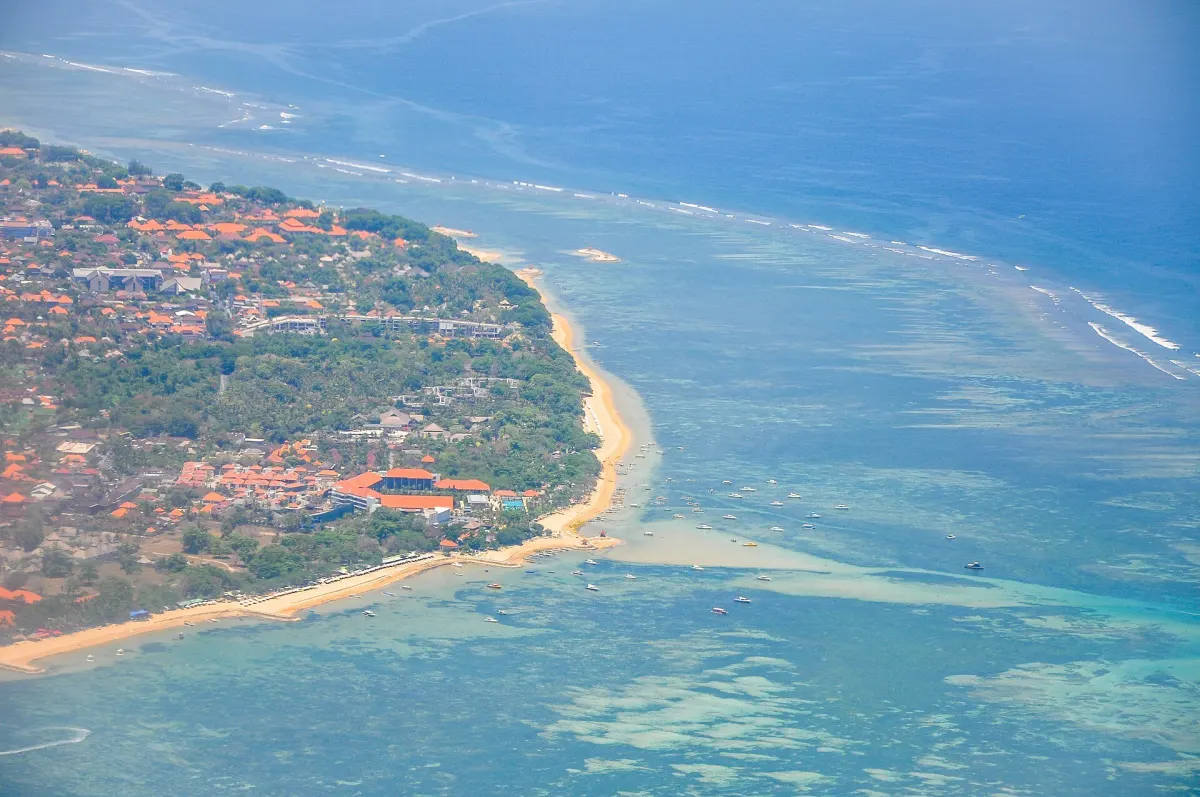
Denpasar — A new-moon cycle on Oct. 10, 2026, may raise maximum sea levels and bring tidal flooding to southern Bali from Oct. 9 through Oct. 18, according to the Meteorology, Climatology and Geophysical Agency, known as BMKG. The warning covers coastal areas of Gianyar, Badung, Denpasar, Tabanan, Klungkung and Jembrana.
The warning concerns conditions that can affect daily activity along the shoreline, not a prediction that every coastal location will flood equally. BMKG’s information says the potential flooding is linked to maximum tides and is based on water-level monitoring and tidal predictions. The timing and severity may vary by location.
What BMKG’s warning means for Bali visitors
For a foreign visitor, the practical meaning is that plans involving beaches, ports and other low-lying coastal areas may take place during a period of elevated tidal risk. BMKG identifies possible effects on port loading and unloading, coastal settlements, salt ponds and inland fisheries. The warning also covers activities around the shore more broadly.
Travelers staying near the coast may therefore encounter localized water intrusion or interruptions to shoreline activity, while conditions farther inland may be different. The advisory does not state that beaches, hotels, roads or ports across Bali will close, and it does not assign the same impact to all locations.
Visitors using ferries, joining harbor-based excursions or spending time in coastal settlements are among those whose plans could be affected by changing tide conditions. BMKG says the time of maximum tide can differ between areas in both day and hour, so a general warning period does not identify one islandwide peak.
BMKG asks people to remain alert to possible effects of maximum sea levels and to follow updates in its maritime-weather information. The agency lists its maritime information service and local BMKG offices as sources for further updates during the warning period.
The warning is part of a broader coastal advisory for Indonesia. For southern Bali, the listed period is Oct. 9–18, 2026, with the areas named in the notice spanning Gianyar, Badung, Denpasar, Tabanan, Klungkung and Jembrana.
Sources
Read next
More on this story

Explainers & Data
Bali Assessment Places Buleleng First and Badung Last
Bali’s 2026 assessment put the average score across its nine regencies and municipalities at 77,27. Buleleng ranked highest and Badung lowest.
Most read in Travel Advisory

Today’s top story
Related